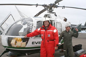

| Sam Fuerst - Northern High School (Durham, NC) | |
| Research Experience: | Seafloor Mapping in Support of Law of the Sea |
| Research Objectives: | To map the seafloor of the northern Chukchi Cap in order to collect the data needed for a submission to the United Nations. A multibeam echo sounder is the primary tool being used aboard the USGS HEALY to accomplish this task. The primary targets for the mapping are the delineation of the 2500 meter depth contour and the "foot" of the continental slope. The seafloor mapping data collected will also help better understand the seafloor processes, fisheries habitat, and be used in climate and circulation models that will help predict future conditions in the Arctic. |
| Research funded by: | National Oceanic and Atmospheric Administration |
| Host Researcher: | Larry Mayer (UNH) |
| Return to "Research Experiences" | |
|
ARMADA Project Office of Marine Programs Graduate School of Oceanography University of Rhode Island armada@gso.uri.edu |