|
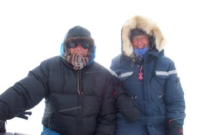
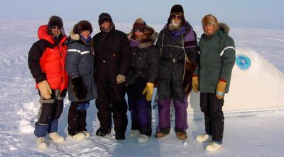
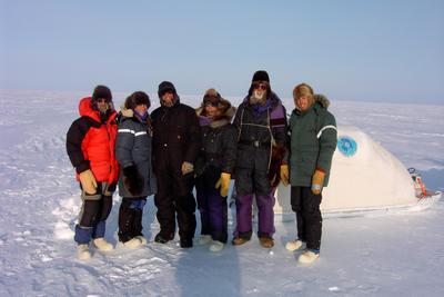
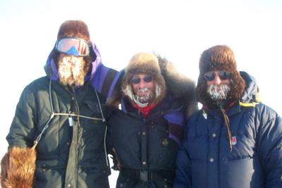
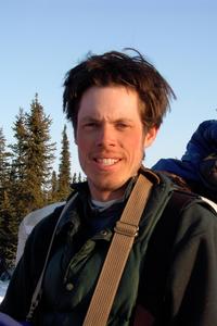
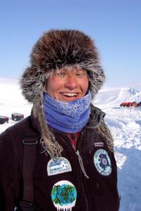
25 April, 2002The last stretch of the SnowSTAR 2002 expedition. Barrow, our final destination point lay 60 miles ahead of us. Two abbreviated tundra/lake pair sites were completed on our route to the finish line. The visibility was low and our last ride, as a team would be dulled with the limited light. The flat, coastal plain dotted with lakes and swampy tundra gave way to our destination of Barrow. The SnowSTAR 2002 expedition had been successful. Our bodies are tired mentally and physically. A year of plans and preparations were finally completed. The trip had started at the Bering Sea in Nome and 1,050 miles later had ended at the Arctic Ocean. Our eyes had seen the warm, shrubby area of the Seward Peninsula, the rolling Darby Mountains, the steep snow covered Brooks Range Mountains, and the flat, windy coastal plains. The snow had been similar but different in these vast areas. It had been hardened, scoured shaped by the wind, deep within the trees, and sparse across the tundra. Our bodies had experienced the physical demands of 1050 miles over 35 days. The coldness and winds had taken their toll on our bodies. Our minds were tired from the never-ending problems that constantly needed to be solved. Through these problems the team had pushed on and there was success in the amount of science measurements that were taken. Over the last 35 days, a total of 34,797 measurements were recorded. 44 full, complete sites 39 abbreviated sites 83 Total sites finished. GPS/Magna Probe measurements: 16,600 MagnaProbe measurements: 16,600 SWE's (snow water equivalence) 830 Snow Pits 415 Light Attenuation 132 Penetrometer 220 Total: 34,797 measurements Plus: 60 Class 2 Chemical Samples 90 Class 1 Chemical samples So Over 1050 miles a site was completed approximately every 12 miles. Or, a measurement was taken every 159 feet over 1,050 miles. That is a tremendous amount of work in extreme, harsh conditions that could only have been achieved by the 6 people of the SnowSTAR 2002 expedition team. WHERE IS MRS.CHEUVRONT?? LET'S PLOT!! BARROW! The northern most point in the United States. latitude: 71.32428 degrees North longitude: 156.67925 degrees West Temp max: -3 degrees Celsius temp min: -9 degrees Celsius
Contact the TEA in the field at . If you cannot connect through your browser, copy the TEA's e-mail address in the "To:" line of your favorite e-mail package. |