13 December, 2001
We continued our terrestrial sampling today. I was a mild day compared to Wednesday. We were able to sample more than 50 sites.
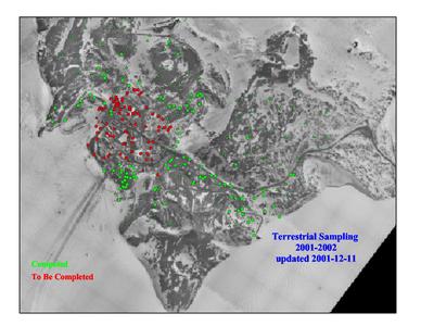
1. A GIS map of the sites we will sample. The two programs that are used to help pinpoint sites are the GIS(Geograhical Information System)and GPS(Global Postitioning System). GPS gives coordinates so that a parcticular site can be located. GIS helps determine which sites will fit the criteria established.
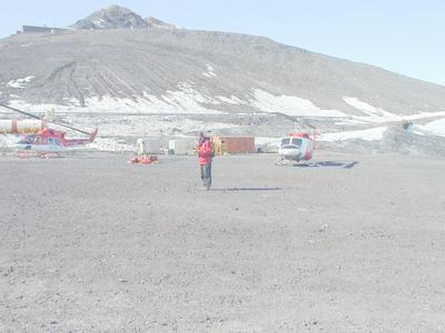
2. Andrew Klein with GPS system apparatus trying to find the next site. Todays temps: -4C, +25F with wind chill: -28C, -18F
Contact the TEA in the field at
.
If you cannot connect through your browser, copy the
TEA's e-mail address in the "To:" line of
your favorite e-mail package.
|


