|
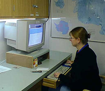
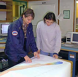
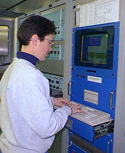
18 February, 1999February 18, 1999 Greetings from the Ross Sea! The night crew had news for us as we arrived downstairs this morning. While they were taking a core last night, the temperature reached -22 degrees C! Since we have been here, that's the coldest temperature that we have seen. Their core site was located right next to the ice shelf, and the cold winds blowing off the shelf probably had something to do with it. Today, we had a very busy day! We took three cores, in addition to doing multibeam surveys. When we take a core of sediments from the ocean bottom, do you suppose that the oldest sediments are at the top of the core or at the bottom of the core? Yesterday's question was "Do you know how sonar works?" Sonar sends "pings" of sound down through the water. We can actually hear these pings throughout the ship -- they sound like the chirp of a small bird. These sound waves travel from the source of the sound to the bottom of the ocean and back up to a receiver. Computers analyze how long it took for the sound to travel that distance, and by using that information (as well as things like the water temperature and salinity) they can determine the distance to the bottom. This is the same basic way that a fish finder works. Scientists look at the bottom of the sea floor to find evidence of the glaciers (moraines, scratches from icebergs, etc.). We have been using equipment to look at the bottom of the sea floor constantly. In fact, we have four different machines that each do this job in slightly different ways. We have one piece of equipment called a multibeam. This is the one that I have mentioned the most. This is attached to the underside of the boat and it sends pings of sonar to the right and left as well as straight down. With this instrument, we can make a contour map that shows us what the bottom looks like. When I mentioned that we had to edit some of our data, we are editing the multibeam data before the contour map is drawn. Sometimes the pings don't make it all the way to the bottom due to things like rough water, reflection, or refraction. We have to edit each set of pings on the computer and erase any wild points. It takes about an hour of editing for every hour of data. You would think that a computer could do this job, but according to our support staff there are no computer programs that do it as well as people themselves. Almost all of the ASA staff do ping editing, as well as all of the scientists except Dr. Anderson. Each day, we have two sets of data to edit. If we have a chance, we edit at least some of our data while we are on shift. If the day is too busy, however, we will finish our ping editing after our shift is over. Another instrument that depends on sonar is called the Bathy-2000. It also sends out pings of sound, but they are at a slightly different frequency. Because of this, they can go down a little bit into the sediments. In other words, this instrument can not only show us what the bottom looks like, but also it can show us what the top layer of sediments looks like (layering, for example). Whereas the multibeam shows us the contour map of the bottom, the Bathy-2000 shows us a side profile of what's beneath us. We watch the Bathy-2000 a lot when we are determining where to take a core. We want to make sure that the sediments we are coring are made of mud and not solid rock! The third instrument that uses sonar is called the Simrad. When biologists are on board, it truly is used as a fish finder. We monitor that it is up and working, but we don't rely much on it's data. If the Bathy-2000 crashes, the Simrad is a backup (but it has much fewer details). These first three machines are running all of the time on the ship. Every 15 minutes, when we walk around and take our log, one of the things we do is check each of them and make sure that they are working properly. Being computers, they have a tendency to crash just like our computers at home. If the screen freezes, we aren't collecting any data! So why do you suppose that we walk around and check every 15 minutes instead of once each hour? Our last instrument that uses sonar is called a "deep tow." This instrument, however, is not attached directly to the boat. We pull it behind the boat by a long cable. The "fish" hangs in the water and sends out chirps of sound, which travel down through the water to the bottom. The sound waves that come from the sides of the fish go down at an angle (like the sides of a triangle) and make a map of the bottom (a top view). The sound waves that go straight down actually penetrate the sediments. They are used to make the profile (or side view) of the sediments. The readings are recorded digitally on a computer as well as visually on a printer. Like the Bathy-2000, this instrument is used to look at the top 10 meters of sediments. This biggest difference is that the deep tow gives us a much clearer picture with a lot more detail. The deep tow can see things that are 10 times smaller than things that can be seen with any other sonar instrument on the ship . . . it can map things that are only one meter (about 3 feet) across! That's not too bad, considering we are working in anywhere from 500 to 1200 meters or water! Since the deep tow is not permanently attached to the ship and has to be placed in the water, the scientists are very selective about where and when we are using it. Unfortunately, our deep tow isn't working right now. There are several people on the ship who are working very hard to try and get it fixed. Hopefully, they are making some progress and we'll have it up and running in another day or two. Well, it's getting late and I really need to sign off for the night. Keep those great questions coming! I'll be back tomorrow! Kim Giesting Latitude: 76 degrees 52 minutes South Longitude: 170 degrees 01 minutes West Temperature: -6 degrees C
Contact the TEA in the field at . If you cannot connect through your browser, copy the TEA's e-mail address in the "To:" line of your favorite e-mail package. |