|
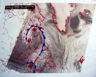
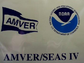
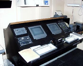
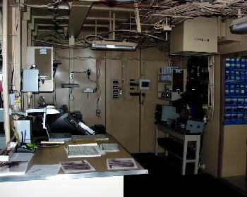
24 June, 2000A Perfect Storm! With the new, soon-to-be blockbuster movie "A Perfect Storm" coming to theaters in less that a week, I figured now would be a good time to let you know how the United States Coast Guard and the National Oceanic and Atmospheric Administration (NOAA) are working together to help keep commercial traffic on the high seas as safe as possible. And in the event that a distress signal is sent out from a vessel, all available resources may be focused on aiding the ship in distress. Each day one of the MSTs, Marine Science Techs, makes synoptic (giving a general overview of the whole) weather observations every three to six hours. The interval is based on the schedule of the MSTs. It has been my observation that the MSTs are usually juggling several assignments throughout the day, so I would be surprised if the weather observations are done on a regular three-hour interval. Nonetheless, these weather observations are part of a huge network of data collection that goes into the AMVER / SEAS Program. What is SEAS? SEAS is an acronym for Shipboard Environmental (data) Acquisition System. Developed by NOAA, the system is intended to provide real time data for ships at sea through the use of satellite data transmission. The program is a cooperative effort between NOAA and the U.S. Coast Guard. A network of GOES and INMARSAT satellites plays a critical role in the exchange of information. Marine meteorological and ocean data is collected and transmitted via satellite to NOAA. The data is used to develop weather, climate and ocean models such as in the Numerical Oceanography and Meteorology Center (FNMOC) for analysis. SEA IV software is used in the process. This software helps ships parcticipating in the Volunteer Observing Ships (VOS) program to report their data to AMVER. What is AMVER? The Mutual Assistance Vessel Reporting System is a worldwide, voluntary reporting system run by the Unites States Coast Guard. The purpose of the program is to encourage safety at sea to both property and life. It is AMVER's main goal to provide quick and accurate information about a ship's location and it's physical characteristics to search and rescue operations when it has sent out a distress signal. AMVER allows ships to send in information regarding their projected route, or float plan so that they may be tracked. The collected data will aid in getting any needed help to the ship if it sends out a distress signal. The information gathered is keep confidential by the Coast Guard to encourage all sea traffic to take advantage of this safety net. In tomorrow's journal, I will be detailing the types of information gathered here on the Healy. The information not only details weather, but also includes information on ocean and vessel conditions. It is part of an important job that could save the life of the reporting vessel, or one to follow.
Contact the TEA in the field at . If you cannot connect through your browser, copy the TEA's e-mail address in the "To:" line of your favorite e-mail package. |