|
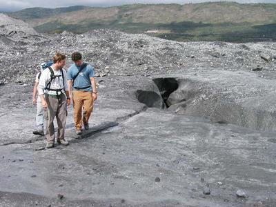
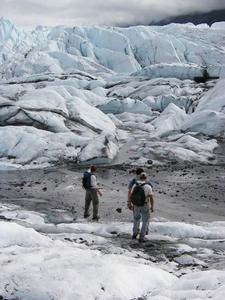
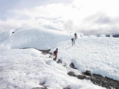
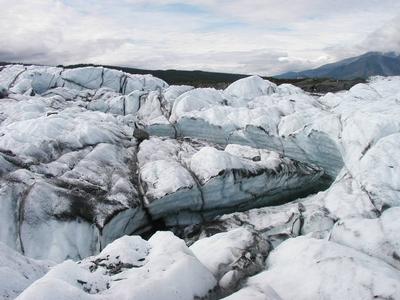
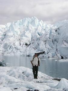
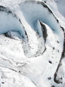
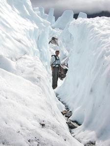
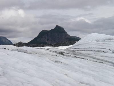
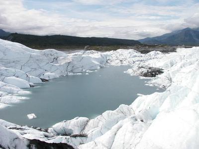
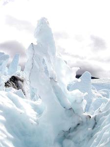
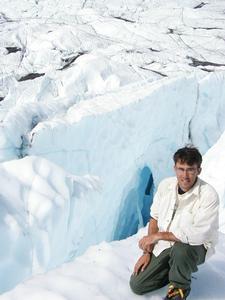
24 July, 2001Climbing a hill and Processing Data 8:32 p.m. Today was extraordinary in nearly every way. Right now, the sun is 20 degrees above the western horizon, casting lenthening shadows across the Matanuska "sun hole". Clouds ride on the other side of the mountain ranges that surround the Matanuska Valley, finding it easier to slide around those ranges than to push over the top and into the valley. Matanuska Valley is one of the sunniest places in southcentral Alaska... Lucky us. Life on ice ... almost After work this morning, Clay took James, Cory (summer intern with CRREL in Hanover, NH, and scheduled to work on the glacier next summer, and here for the day), and I on an ice climbing tour of his ablation stations.... and what an extraordinary tour it was. When we reached the ice, we strapped crampons to the bottom of our boots and tromped off over the ice towards the seracs (large chunks of ice that rise from the surface of the glacier liek so many broken blocks) which have dominated many of my pictures of the glacier. The hour-long hike in was like a trip to another planet; indeed, the ice planet in Star Trek VI: Undiscovered Country was filmed here. I have seen many things in 30 years, in 45 states and 14 countries, in museums and wild places... The things I saw today were some of the most amazing things I have ever witnessed. The pictures will not do justice to the incredible beauty and scale of the hike to the summit of the terminus. The glacier is full of amazingness. Science at work A major part of our project is compare and contrast the information we collect from seismic reflection and ground-penetrating radar. Before we can begin to compare these data, there is a problem which we must solve. When we collect seismic and radar data, we are measuring the time and the amplitude (size) of the reflections off things in the ground. Trouble is, seismic waves travel hundreds of meters per second, and radar waves travel millions of meters per second, and each behave differently when they travel through ice. Right now, we cannot compare our data at all; we wouldn't know if we are looking at the same things underground between the two sets of data, or not. This issue must be resolved before we continue. Luckily, simple physics provides a perfect solution. Consider the following: so, distance = velocity x time We know the time it took for the reflections to reach the recording devices (the geophones and the receiving antenna). If we could somehow calculate the speed of the seismic waves and the radar waves as they traveled through the ice on which we were collecting data, it would be simple math to find the distance. The reason to find distance is simple: distance does not depend on the speed of the waves (seismic or radar). So, if we can express all of our data in terms of distance, we can also easily compare all of our data. Luckily, I spent the morning figuring out the velocity of the seismic waves in ice and the velocity of radar waves in ice.... Distance calculations and data comparison are coming up (and with them, the moment of truth for part of our project)!!! I love physics, because physics is phun! Cheers. ~SM
Contact the TEA in the field at . If you cannot connect through your browser, copy the TEA's e-mail address in the "To:" line of your favorite e-mail package. |


