|
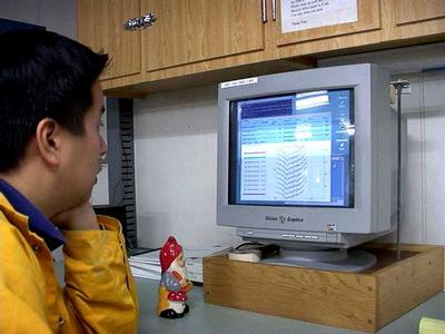
13 February, 2001-066.28 lat 141.53 long Ping Editing There are many constants on the boat, such as food, water, and ping editing. Every day since we have left port we have had this one constant duty. Even if we are at a station and have had a full day of work that ping edit is always waiting for us. Ping editing is one of the most important things we are doing on our research cruise. As the boat is traveling across the surface there is an array of 120 sonars attached to the bottom of the ship. Each one is set at a slightly different angle that totals a 60 degree spread. Each sonic line is sent to a receiving computer as one set of pings, or dots. If we are in deep water we don't have as many ping lines because it takes longer for the sonar to reach the button and bounce back to the ship (How can you tell depth from sonar?). In shallow water we can have thousands of lines (why is that?). From files and files of individual ping edits we can generate maps of the ocean floor. Some of the maps we will make are >from regions of the ocean that have never been mapped before. How does a line of dots turn into a map? As you can see from Andrew's picture we first get lines and lines of dots, each dot is from one of the 120 sonars under the ship. We edit out pieces of "bad data". Bad data can include the ends of the dots going in the wrong direction, and what we call "tilted pings" where a line of dots is at a different angle from the rest. Once editing is complete, the computer generates a map of our individual sections. Then Kathleen, our data analyst, will put all the files together to generate a bathymetry map, which is an underwater map of the sea floor. Why don't you do a web search on the internet and see if you can find any see floor maps most likely made using this method.
Contact the TEA in the field at . If you cannot connect through your browser, copy the TEA's e-mail address in the "To:" line of your favorite e-mail package. |