|
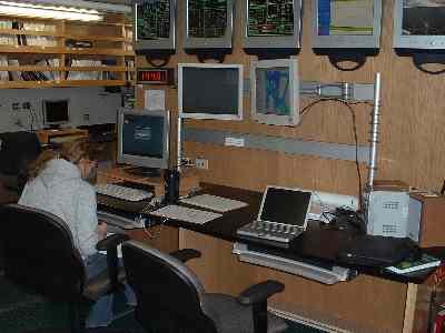
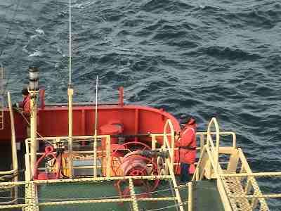
20 January, 2004It is the first day that we are collecting data and everyone is getting into the routine. We are working in three shifts to monitor incoming data. There is a group of three watch standers assigned to each time period beginning at 2:00 AM until 10:00 AM for the first watch. During this time period watch standers rotate between a tasks. These tasks include recording position and reference data in a data log (to be used as a hard copy reference), Marine Mammal Observation, and Beam Editing. Today, we were collecting only multibeam sidescan sonar data and we had not collected sufficient data to require beam editing, so this was an opportunity for everyone in their groups to get a feel for things and ask questions. The primary scientists work in 12-hour shifts, monitoring the cruise day and night. Terry Wilson from Ohio State and Larry Lawver from the University of Texas are responsible for determining where we will collect data, and what type of data will be collected. When we are collecting seismic data, Stuart Henrys and Huw Horgan, from New Zealand, monitor the operation of this equipment specifically. Marcy Davis, from UT, has the distinction of being responsible for beam editing and Mark Weiderspahn, from UT, is responsible for trouble shooting and support for all of the systems. Most of the data collected today was done using a technique called mowing the lawn. The ship makes parallel tracks while collecting sonar data to get an initial map of the seafloor that we can use in the future to use as a reference for other methods of data collection on promising sites. Most of the area that we are in has had only preliminary maps made, so our survey is important in providing detailed maps of the area. We are limited to where we can survey by two huge icebergs, B15A and B15K. These two enormous blocks of ice are daughter bergs of B15, which calved off of the Ross Ice Shelf in 2000. In October of 2003, B15 began breaking into "smaller" pieces that began to move out to sea until they were stopped by the sea ice or grounded on some shallow feature on the seafloor. We began deploying devices off the back deck today. One of the data collection devices that are towed behind the ship is the magnetometer. This tool allows the scientists to measure subtle changes in the Earth's magnetic field with a high degree of precision. Changes in magnetic field may reflect higher concentrations of iron associated with volcanic features. It was a very productive day and it was good to be up and running. We look forward to starting seismic surveying tomorrow.

Contact the TEA in the field at . If you cannot connect through your browser, copy the TEA's e-mail address in the "To:" line of your favorite e-mail package. |