|
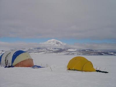
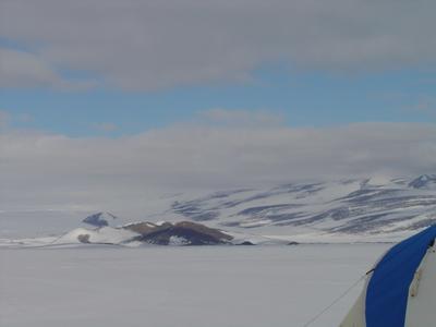
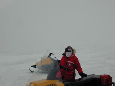
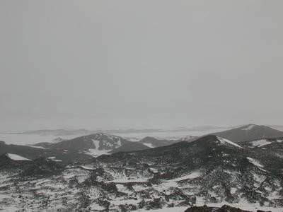
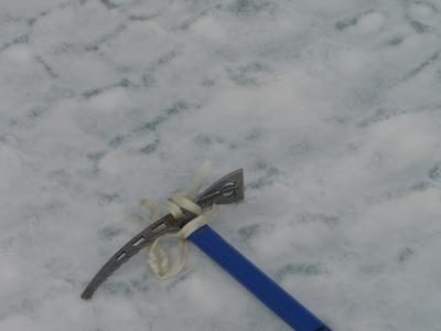
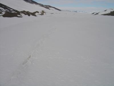
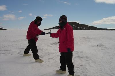
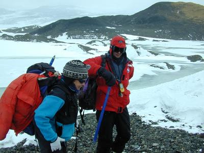
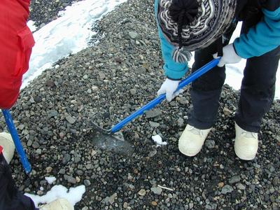
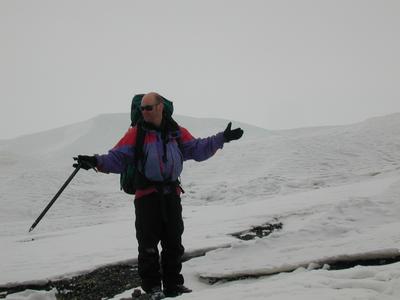
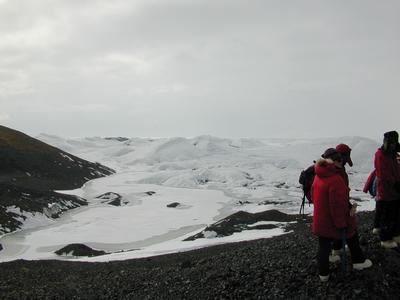
15 December, 2003Minna Bluffs/Mt. Discovery We woke up this morning to find calm winds, bluer skies, and much warmer temperatures. We also discovered that we’d chosen a beautiful site to set up camp. To the north of our tents we could see Mt. Erebus and to the West Mt. Discovery. After a leisurely breakfast we unhooked the sleds and set out on our ski-doos for our first sampling site. Our mountaineer, Brain, determined a better route to reach land and without our sleds traveling over the pressure ridges was much easier. Minna Bluff’s clay-like dirt, relatively “close” mountainous peeks, and glacial ice and cracks were a stark contrast from my experience in the Dry Valleys. In some ways this was easier. Distances are not as deceiving and it didn’t take as long to hike to the next desired location. On the other hand, the glacial ice can be extremely difficult on which to walk. When the ice is exposed, it is very slippery. Often, parts were very thin and broke as our feet hiked over it. Also, there are numerous cracks, which are often uneasily detected due to blown over snow and re-healing. Even though we had all taken our sea ice training, we felt much better having Brian there to point out the areas over which we had to cross carefully. Hiking was even more difficult as we had to do it in our bunny boots instead of our hiking boots. Even though we were careful there were still a few tumbles, but thankfully the only damage was a hurt finger and a few bruises.
Contact the TEA in the field at . If you cannot connect through your browser, copy the TEA's e-mail address in the "To:" line of your favorite e-mail package. |