|
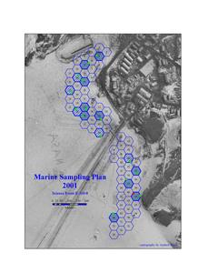
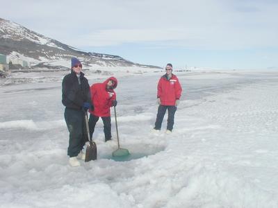
29 November, 2001temp. -3 C, +27F with wind chill -10 C, +14 F Since there were no ice holes drilled, we could not do any water sampling today. I thought I might update you on a few things I have gotten questions about. How do we decide where to make ice holes? Well, it's a combination of two computer programs. one called GPS(Global Positioning System) and GIS(Geographic Information System). Using information supplied by the scientists about the depths of areas along the coastline, 75 possible sites were generated by the computer programs. GIS randomly selected 15 of those sites to sample. Question of the Day: Alas, I asked a poor question: What is the difference between a male seal and a female seal? I should have specified a species. I was referring to the Weddell seals which we find here in Antarctica. For these seals, the female is slightly larger than the male. In other species, the male is much larger than the female. I will however like to congratulate Haley Brubaker at Goodman middle school for giving a such a detailed answer. Alot of research went into the answer. And.... I'm still waiting for lists of waste categories. the contest was suppose to end on Wed., but since I haven't gotten any good responses, I'll extend it to next Wed. All you ecology students should be able to come up with a few. Remember, start with those things you know are recycled and go from there.
Contact the TEA in the field at . If you cannot connect through your browser, copy the TEA's e-mail address in the "To:" line of your favorite e-mail package. |