|
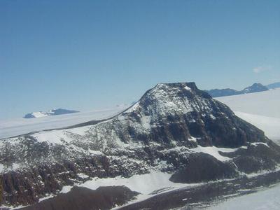
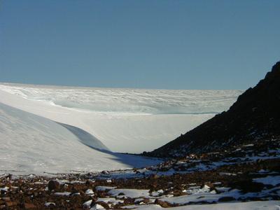
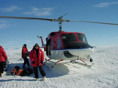
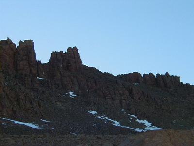
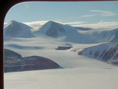
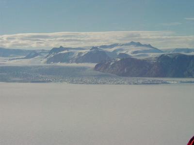
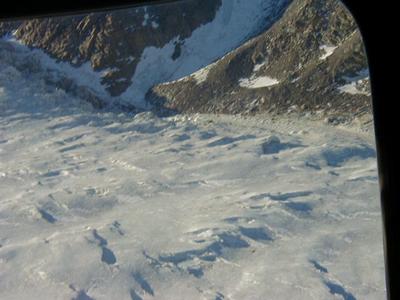
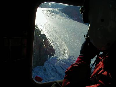
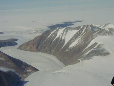
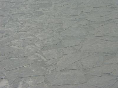
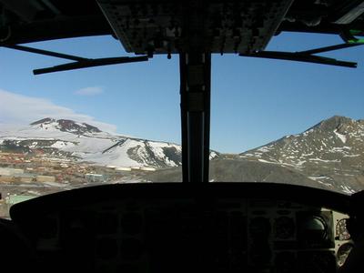
7 December, 2001Dec 7th- My Last Helo Trip A few days ago I went on my last trip to install a seismic station. Each day that there is a scheduled flight for our project, different members of our team go. It was my turn again! After this trip, the team only has one more station to install from McMurdo. The site we flew to via helicopter was at the edge of the plateau on a nunatak. A nunatak is a mountain or large piece of rock that sticks up through an ice sheet. We were at 5,000ft on a mountain that was mostly buried in ice! It was amazing to think of how much of it was actually hidden. Our flight took about 2 hours because we stopped for fuel on the way. The temperature was quite warm. It was 18 degrees F when we arrived and 8 degrees F when we left 6 hours later. These temperatures were nice because there was very little wind to make us feel colder. We were in a dome shaped area that gave us some protection from potential winds. This was good peace of mind for me! The set-up of a seismic station on a rocky surface is done the following way. Two people set up the A-frame and solar panels. This always takes a while because of all of the poles, fittings and screws that are involved. Once this is done, heavy rocks have to be placed on the bases of the frame to protect it from being blown down by the wind. If the site has loose soil or snow, trenches are dug out to place the bases in. Rocks are added for extra security. Then a long cable is run between the solar panels and the installation box. While this is being done, one or two people find a flat spot to place a slab of concrete that will act as a level base for the sensor (seismometer). Sometimes it is necessary to dig a hole and chip away at the rocks in order to get a flat space. Next Plaster of Paris is mixed with water, and the concrete slab is cemented to the bedrock. A compass is then used to determine which direction is north, and it is written on the concrete slab. The reason for this is that the sensor records three different types of movement in the Earth. It records vertical displacement (movement in an up and down direction), east/west movements and north/south movements. Once north is determined, the sensor is adjusted to this direction. After this is done, the sensor is hooked up to the installation box that contains the DAS, disk, GPS clock and batteries. Once it is determined that the sensor is working, blue Styrofoam insulation is placed over it (to keep out external vibrations caused by the wind) followed by a big yellow barrel. The next step is to plug in all of the remaining parts of the installation box and start the DAS so that it will record future movements of the earth. I mentioned earlier in my journals that the data from these seismic stations would not be retrieved until next year when a group revisits the sites, takes out the disks and analyzes them back at the lab. The work we did this season is really the set-up to the experiment. The seismic stations will be recording information for the next year. When the team goes out to the sites again, they will replace the disks so that the stations can record another year worth of seismic events. They hope that after analyzing this information, they will be able to make maps of the upper mantle of the crust, which will help them to understand how the Transantarctic Mountains were formed. Our work here is only the beginning of an on-going project. If all goes as planned with our teammates up at Tamcamp, the total number of seismic stations installed this season will be 42. This is an incredible feat for TAMSEIS. We worked at a very hectic pace to accomplish this, but we did it! All went well up on the nunatak. Our install was a success. The helo arrived around 8:30 pm. Once again, we had to stop for fuel on the way back because we were a long way from McMurdo. By the time we landed and I was sitting down to dinner, it was 11:00 pm. A good day was had by all.
Contact the TEA in the field at . If you cannot connect through your browser, copy the TEA's e-mail address in the "To:" line of your favorite e-mail package. |