|
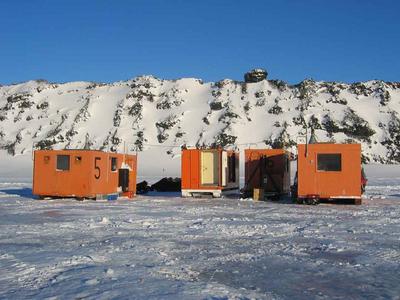
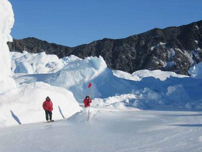
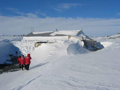
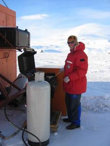
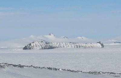
18 October, 2003Our survey of the study area continued today, as we visited the North Base, Turk's Head, Tryggve Point, and Inaccessible Island's seal colonies. We followed the eastern coastline as far north as Cape Evans-there are often a few seals here later in the season. Cape Evans is the northernmost boundary of the study area. There is a map of our study area included with yesterday's journal entry-so you can get an idea of the geography of the area. North Base is at the north side of the Erebus Glacier Tongue. It gets its name from its location at the base of the glacier. Access is difficult from the sea ice-we must cross over snow and ice to reach the crack where the seals access the ice' surface for pupping. On today's trip, we flagged the route that we will be using during the season, careful to avoid cracks and crevasses. It was difficult to believe that seals would be back there-but when we reached the main ice crack area we could see they had been there. There was only one seal on the ice today, but as the season progresses, more will be in this protected area. From North Base, we traveled north along the coast to check the colony at Turk's Head. Turks Head is one of the largest seal colonies in the study area-with up to 200 seals during the peak of the season. There were a few seals on the ice, but there will be many more once pupping really gets going. Next to Turks Head is Tryggve Point, named after a Norwegian member of Robert Scott's South Pole expedition, and home to another seal colony. Cape Evans is the location of the hut where Scott and his men stayed as they readied themselves for the trip to the South Pole. In 1912 Shackleton's crew from the ship Aurora also took advantage of this hut when their ship blew away in a storm (the anchor is still lying near the hut) and they were forced to scrounge in the area around the hut for supplies to continue their mission of laying out food depots for his Tran Antarctic Expedition. Standing near the hut on a clear and cold spring day, I can only imagine what it must have been like for both parties during the long Antarctic winters. We finished our day at the seal colony at Inaccessible Island. There were a few adult seals there, but no pups. Two of the adults needed tagging, so we were able to practice the seal bag dance and give them tags. From there, we crossed to the flagged sea ice road and headed back to camp. Our timing was excellent. We returned to camp as the winds increased and visibility decreased. A word about driving snowmobiles across sea ice. In case you're picturing a smooth glassy surface, it's time to absolutely revise that image. The sea ice is covered with irregular hard-packed wind-blown mounds of snow known as sastrugi. Often the best route between two points is anything but a straight line. It's exciting driving, to say the least-bumping through the snow mounds, picking a route that maximizes smooth snow and minimizes bone-jarring drops off the ends of snow mounds. Definitely 4-wheel drive style snowmobiling! When we reach the packed sea ice road, it's a pleasure to sit back and drive along its relatively smooth surface. Back at camp, we cleaned up tools, drank hot beverages to warm us up, and looked over our bounteous larder to plan the evening's menu. How about grilled halibut with a rice and vegetable pilaf? While the wind speeds gusted over 30mph, and wind chill dropped to -40F, Darren set up what was, without a doubt, the southernmost propane barbecue grill in use this evening. Bon appetit! Daily Haiku: Amazing vistas Erebus steams, seals bellow Clear blue, icy cold
Contact the TEA in the field at . If you cannot connect through your browser, copy the TEA's e-mail address in the "To:" line of your favorite e-mail package. |