|
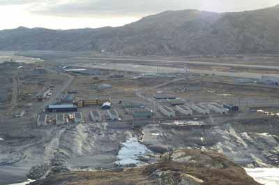
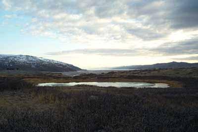
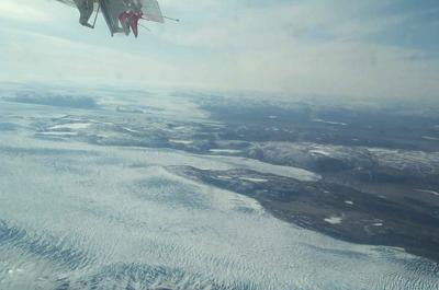
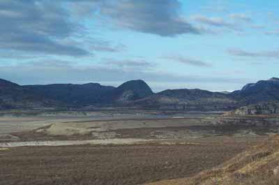
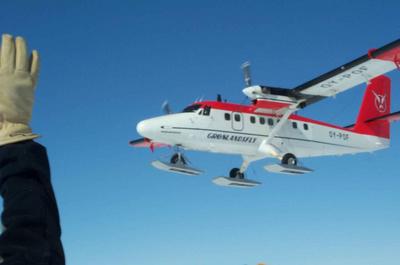
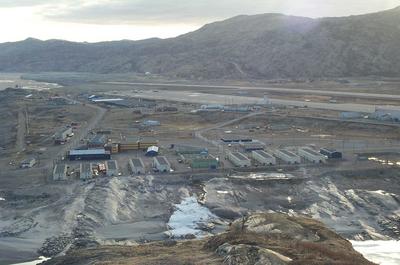
1 May, 2003Weather – Mid 20’s during the day. I had expected much worse! Around Kangerlussauq, where the ice has melted, much of the land is now rebounding or moving back up. It is easy to see where the land next to the river continues to come up and the river keeps carving into those areas. The ice from the past had scraped down to the bedrock. You can see in one of the pictures the scraping marks from the ice as it moved down toward the ocean. This is real similar to many areas in Wisconsin where ice once was a mile thick. As the ice retreated much of the land started to rebound to the elevation it is now. The glacier was also carrying sand, silt, boulders and gravel called till that now sits on top of the area that was scraped from the glaciers. The area where the glacier stops moving forward is called the terminal moraine. In this area there is usually a large pile of till. The key to this till is that it has all different sizes of rocks, boulders, sand and silt. There is an area just north of Rice Lake Wisconsin that as you drive you can see the terminal moraine. Below the moraine is the outwash area. This is an area as the glacier or ice sheet melts it washes the till. Depending on how fast the melt is it will sort the till. You can see in one of the pictures how the outwash area has formed. Again in areas below a terminal moraine you will see flat areas. Below Rice Lake you will see very flat fertile areas where farmers have taken advantage of the large washouts. The flight from Kanger to the ice sheet lasted about 90 minutes and followed the ice edge for quite sometime. You could see how the weight of the ice pack must push the ice edges out. Were we are right now the ice sheet is about 3000m deep. The ice has enough pressure and weight to actually depress the land that is far below it. In simple terms it is smooshing the land down. It is pressing hard enough that the land below the ice is actually below sea level. As I explained above, if the ice would melt the land would rebound above ea level. Think of taking tons of tooth paste and piling up. As the pile gets larger the tooth paste starts to ooze out from the bottoms. This is similar to the ice edge area of Greenland. Our last evening in Kanger was great fun. We used mt. bikes to ride toward a great lookout. We could see the edge of the ice sheet about 20 miles away and the washout area. Along the way we say around 24 musk ox. I did not have great skills at sneaking up on them but I will try for a picture later on. Temperature in Kanger was about 35F and now that we are on the ice cap is about –10F. Not too bad. Here are our coordinates. Latitude 68.30.00N 42.54.00W.
Contact the TEA in the field at . If you cannot connect through your browser, copy the TEA's e-mail address in the "To:" line of your favorite e-mail package. |