
 | |||||||||
|
|
Journals 2007/2008Jason Pavlich
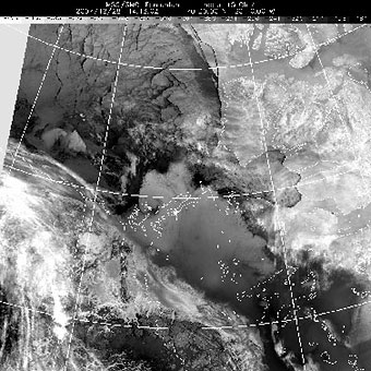
January 4, 2007 Position 71° 25.436' N 125° 02.846' W I thought for some reason, that I was scheduled to sample from the 7 am rosette. I was wrong. So after breakfast, I went back to my room and fell asleep. I woke back up at 10 to get the sample jugs ready for my actual time, 11 am. Since this was to be a water column profile, I had seven jugs with me designated for the depths of 220 m (bottom), 200m, 150m, 100m, 50m, 25m, and 10m. I also had to collect 7 small samples that will be brought back to U of M for O-18 analysis. O-18 is an isotope of oxygen that can be used as a tracer for water. Different bodies of water have different percentages of O-18 in them, so you can infer a great deal about ocean circulation by looking at the O-18 profile. Each jug and vial has to be rinsed 3 times then filled to capacity with the water collected in the rosette tubes. After a quick lunch, the water was brought back to aft lab where I began the normal 4-5 hour filtration for HCHs. Samples were spiked, cartridges labeled, hoses connected, pumps turned on, and flow rates checked. By 5:45 pm, all samples were completed and the cartridges were stored in the lab's -80°C (-112°F) freezer for preservation. At the 7 pm science meeting, Tim Papakyriakou presented his findings from his afternoon helicopter scouting trip. We had only two viable choices to relocate to. Choice one was a piece of ice flow about 2 miles south of our present location. The benefits of this ice sheet were that it was in deeper water (better for water column profiles) and it was part of the current drift pattern we were in (might as well keep collecting data in the same region). Choice two was about 10 miles northeast of us, closer to Banks Island. Choice two was over shallower water, was not drifting nearly as fast as choice 1, but was made of more stable and more protected ice and was less likely to break up. The consensus was to stay in the current drift and take our chances with the flow breaking up. Tomorrow after lunch we will head south. I am happy with this decision. If we headed for the thicker ice flow, 1.5 m vs. 1.0 m thick, my coring workload would have increased 50%.
Then it was back to my room with a cup full of coffee for some journal writing and photo editing. Plus I wanted to hide after the USA's performance against Canada in the World Junior Hockey Championships earlier today. Nobody in the US probably knew about the game but everyone in Canada did. Hopefully we can beat the Russians for the bronze medal tomorrow so I don't have to hear it from them too. |
||||||||
