| |||||||||
|
|
Journals 2006/2007Cyndy Martin
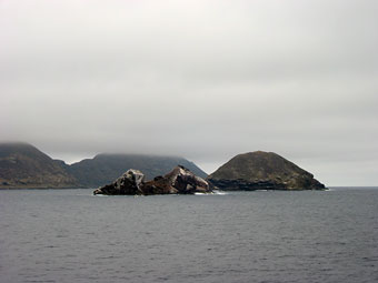
July 29, 2006 Lat: 32° 35.3' N The 224' NOAA R/V McArthur II, weighed anchor and steamed out of San Diego at 0900 this morning, headed for Honolulu, with a crew of 15 and 15 scientists. Surveying in the outer portions of the eastern tropical Pacific (ETP) study area, the major objective of the STAR project (Stenella Abundance Research Project) is to assess the status of dolphin populations impacted by the yellowfin tuna fishery. All marine mammals sighted will be identified and quantified, hydrophone arrays will record acoustics of these mammals, and biopsies will be taken on certain species. In an effort to characterize the habitats in which they live, oceanographic data is collected, as well as data related to the type, distribution and abundance of seabirds, flying fish, sea turtles, plankton, etc. Steaming along at about 10 knots, we said our goodbyes to the last bit of dirt and rock we will see for a month. We peered hard through thick-o-fog to see the shoreline and islands fading into the distance. Made me think of the pea soup fog we get on the coast of Maine. Of course these days with GPS, radar, chart plotters, etc., fog poses no real hardship for the crew. We conducted small boat operations drills with the Zodiac, as well as an abandon ship drill. So I got the gumby suit on, and hoped I would never have to rely on that to keep me alive! We commenced mammal and seabird observations at 1430, as well as deploying the acoustic equipment that will be on-going throughout the trip. The observers are on the flying bridge, 4 decks above the main deck. It's pretty wild being up that high, and the visibility is amazing (up to 7 miles with the "big eyes" in optimal conditions!). There are 2 mammal observers and a recorder on deck from sunrise to sunset, alternating 2 hour watches. One seabird observer is also on deck at all times, rotating every 2 hours as well. As we headed out past Los Islas Coronados, we had short beaked common dolphins, which came alongside to bow ride, as well as glimpses of blue whales. Biopsies were taken of the dolphins from the small boat, a rather large Zodiac "inflatable" with 2 Mercury 150 hp outboards. That ought to be enough hp to outrun any mammal we might encounter! Biopsies are obtained by shooting a small dart at the dorsal fin of the animal, the dart being attached to a thin line, and then retrieving the dart, hopefully with a small sample of skin (approx. 0.5 cm x 1 cm in size). It's amazing how much information can be gathered from that little piece of skin back in the lab: DNA analysis for genetic info, traces of heavy metals, pesticides or other pollutants, as well as an analysis of isotopes which can provide valuable data regarding what these animals are feeding on. Seabirders were busy as we crossed the CA current out of San Diego, with a number of different species observed. Most numerous, of course, were gulls. I will be working with Mindy, the oceanographer, to deploy the evening net tows (collecting zooplankton, small fish and invertebrates), as well as operating the A frame, which helps to deploy the CTD (measures conductivity, temperature and density at different depths). That commences one hour after sunset. The dip net team spends an hour each night using large hand-held nets to sample the flying fish community. I will be spending time on the flying bridge, as well as assisting with oceanographic operations. I will also be responsible for entering behavior data for all mammal sightings. I have also decided to keep a record of the daily ship log, which will be taken at noon each day. I intend to have my marine science class use the coordinates to map out our course, determine prevailing winds and changes in sea temperature as we cross the various surface currents in this region, and use chlorophyll and plankton data to identify areas of high/low productivity. They would then be asked to draw correlations between physical and biological data.
|
||||||||